Skip to content
Bryan Conant Cartography
Trail Maps of Santa Barbara and Ventura County
Toggle Sidebar
May 26, 2015
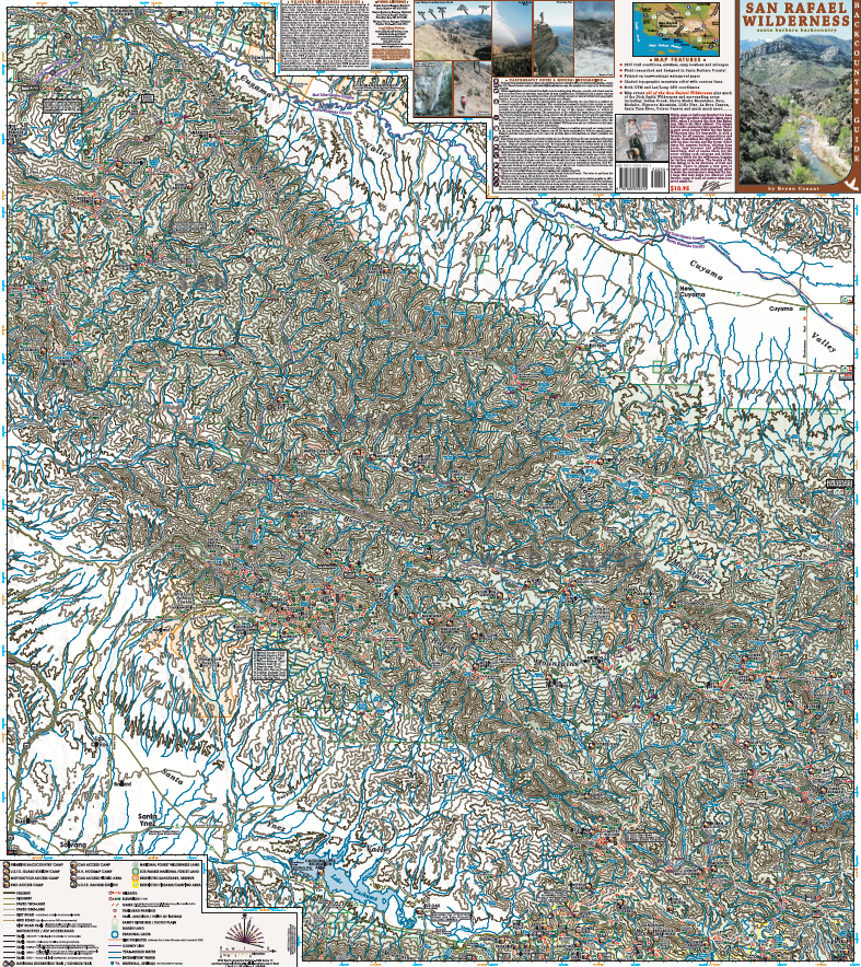
SanRafael2015
Leave a comment
Cancel reply
Δ
Post navigation
←
SanRafael2015
Privacy & Cookies: This site uses cookies. By continuing to use this website, you agree to their use.
To find out more, including how to control cookies, see here:
Cookie Policy
Comment
Subscribe
Subscribed
Bryan Conant Cartography
Sign me up
Already have a WordPress.com account?
Log in now.
Bryan Conant Cartography
Subscribe
Subscribed
Sign up
Log in
Copy shortlink
Report this content
View post in Reader
Manage subscriptions
Collapse this bar